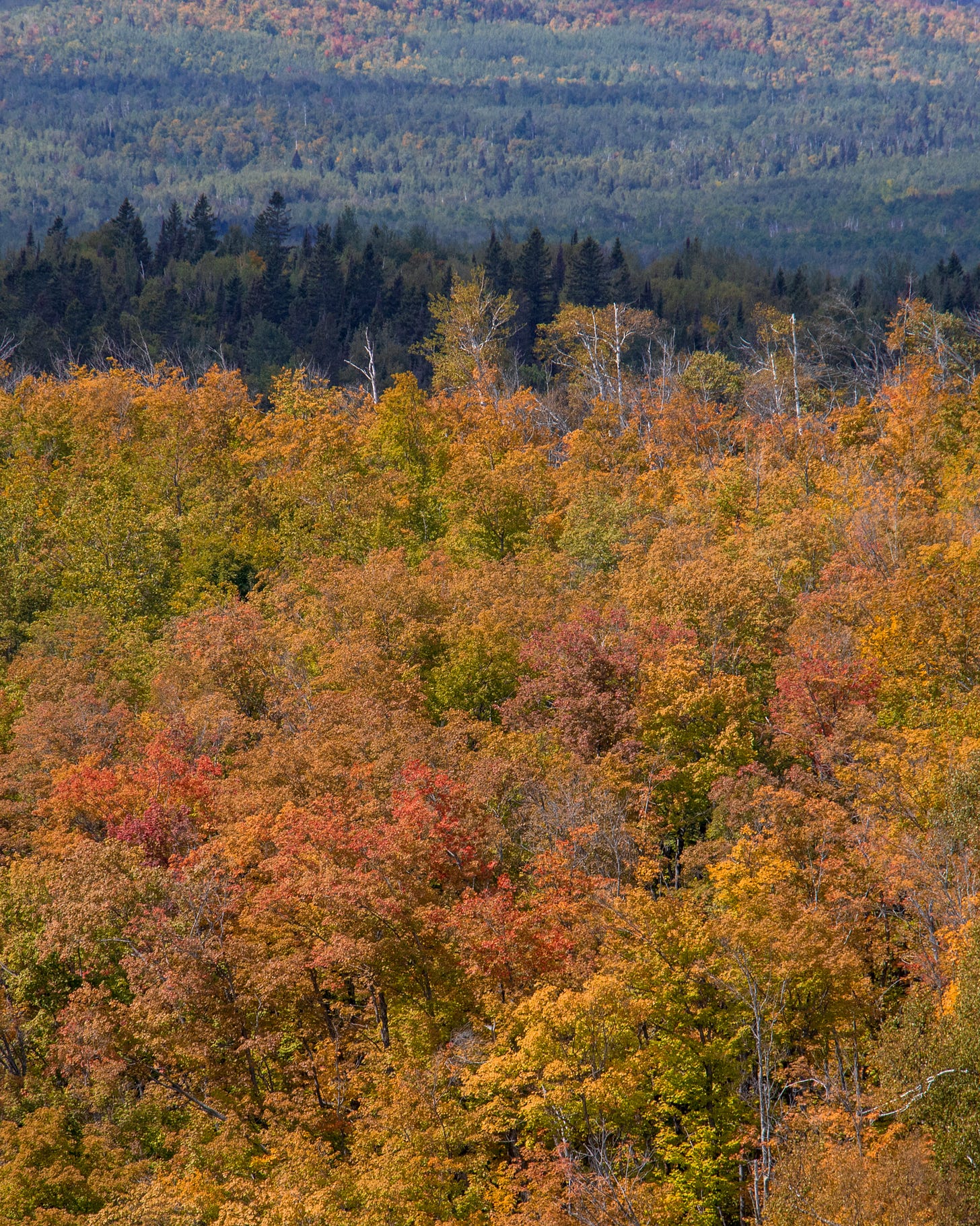
How do you think it happens, that we all decide one place is the best place for fall color? Is it social media, or notoriety of a place, or word of mouth?
This weekend on the North Shore has been dubbed “peak fall color”, which is true for the ridge by Lutsen and Tofte, but pretty much not true anywhere else. From the woman I talked to at the Co-Op, to the people who messaged me on Instagram, to the couple behind me getting coffee in the morning, it seems we’ve collectively decided that Oberg Mountain is the best place in Minnesota for Fall Color.
Here’s my unpopular opinion: Oberg is not that great of a hiking trail. The views are comparable to Carlton Peak, the SHT north of Tettegouche is prettier, and Oberg is teeming with people.
It’s almost certainly true that places like Oberg Mountain or Mount Sophie have exploded in popularity in part because photographers on Instagram have painted them as the places to get fall photos.
And a lot of people would argue that this is the reason we shouldn’t geotag or share locations.
But I would argue that the popularity of these places is a great reason to share alternative hikes. The people coming up to hike are going to hit the trails either way; isn’t it better to disperse the environmental load of all those visitors across any number of incredible trails, rather than sending every person to Oberg?
It’s also worth pointing out places like Oberg, or Mount Sophie, or Bean & Bear, are pretty much immediately recognizable to anyone in the state of Minnesota, or an easy Google Search away. I’m just not convinced geotagging matters all that much. But 20 photog/flucers posting the same old photo of the same view from last year’s peak fall color will almost definitely drive crowds to that hike.
We might overestimate personal influence (ie, the idea that if any one person shares a location people will flock there), but it seems collective influence is continually underestimated.
Finding alternatives to popular hiking trails:
You can always find solitude in the outdoors. You can always find a unique place, something un-photographed and uniquely yours. But you might have to work a little harder for it. Here’s what I recommend:
Google Maps. Play around with Satellite view. Lots of waterfalls will pop up as whitewater, and many smaller trails will still be labeled in Google Maps. You might even be able to find photos.
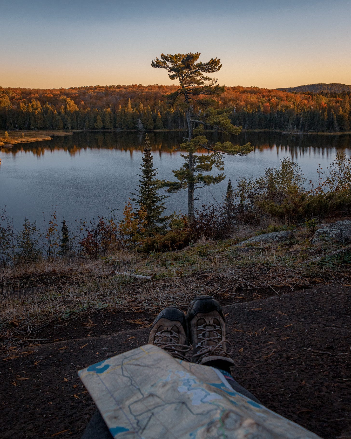
Topographical Maps. If you want to really discover something off the beaten path, get out and learn to read a Topo Map. I recommend McKenzie Maps for the North Shore/ BWCA.
Politely reach out to a local! I almost always answer direct messages asking for hiking advice. Usually I’ll send an article I’ve already written, or direct people to my book. The key is to be kind, and keep it brief. I get about 30 direct messages a day, so I don’t have time to plan everyone’s vacation, but I probably have time to direct you to a resource. (note: leaving a comment on someone’s post saying “where is this?” will usually be ignored. In general, people find this rude and you’re much more likely to get an answer with a polite dm!)
Where I’ve been hiking:
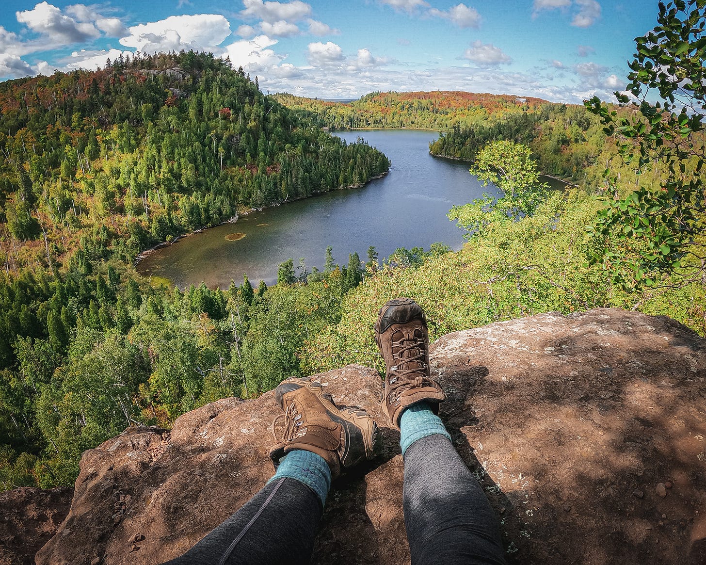
Emily (my hiking buddy) and I have made a soft pledge to avoid the popular spots this fall. We both don’t love crowds, and this area has so much more to offer than the same few hikes.
Fantasia Overlook and SHT North of Tettegouche
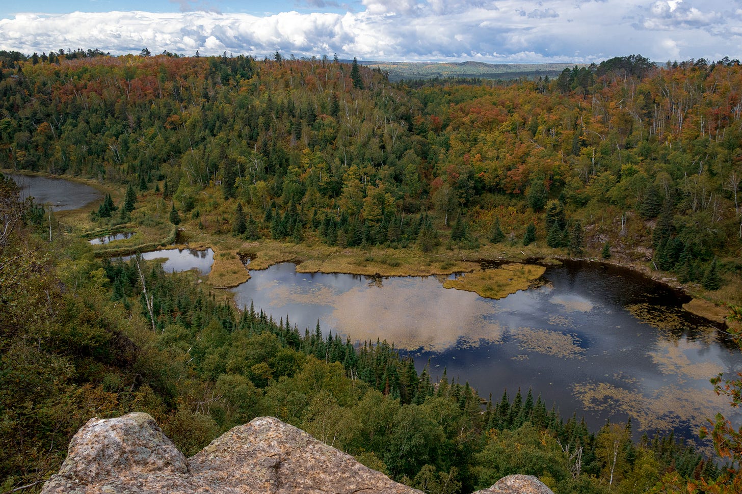
A great alternative to the very popular Bean & Bear hike in Silver Bay is the Fantasia Overlook. The Overlook itself (September 11th pictured below), is of a beaver pond, but the entire hike is along a really stunning ridge. 10/10 recommend.
From Fantasia Spur, continue northeast on the SHT to the Johnson Lake Overlook.
It’s a pretty brutal 6 miles of up and down round trip, but definitely worth it.
Lutsen Highlands north to Caribou Lake
This is a really pretty section of the SHT that I rarely see anyone on. Lots of people swing by the spur trail to White Sky Rock, which is also lovely, but pretty much all of the SHT between Lutsen and the Caribou Trail has something to offer.
Magnetic Rock (off the Gunflint Trail, north of Grand Marais)
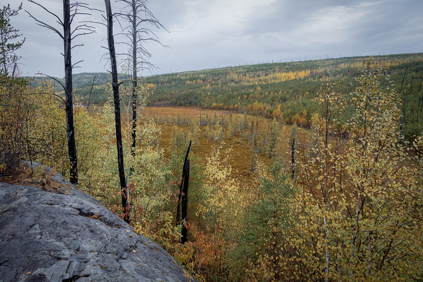
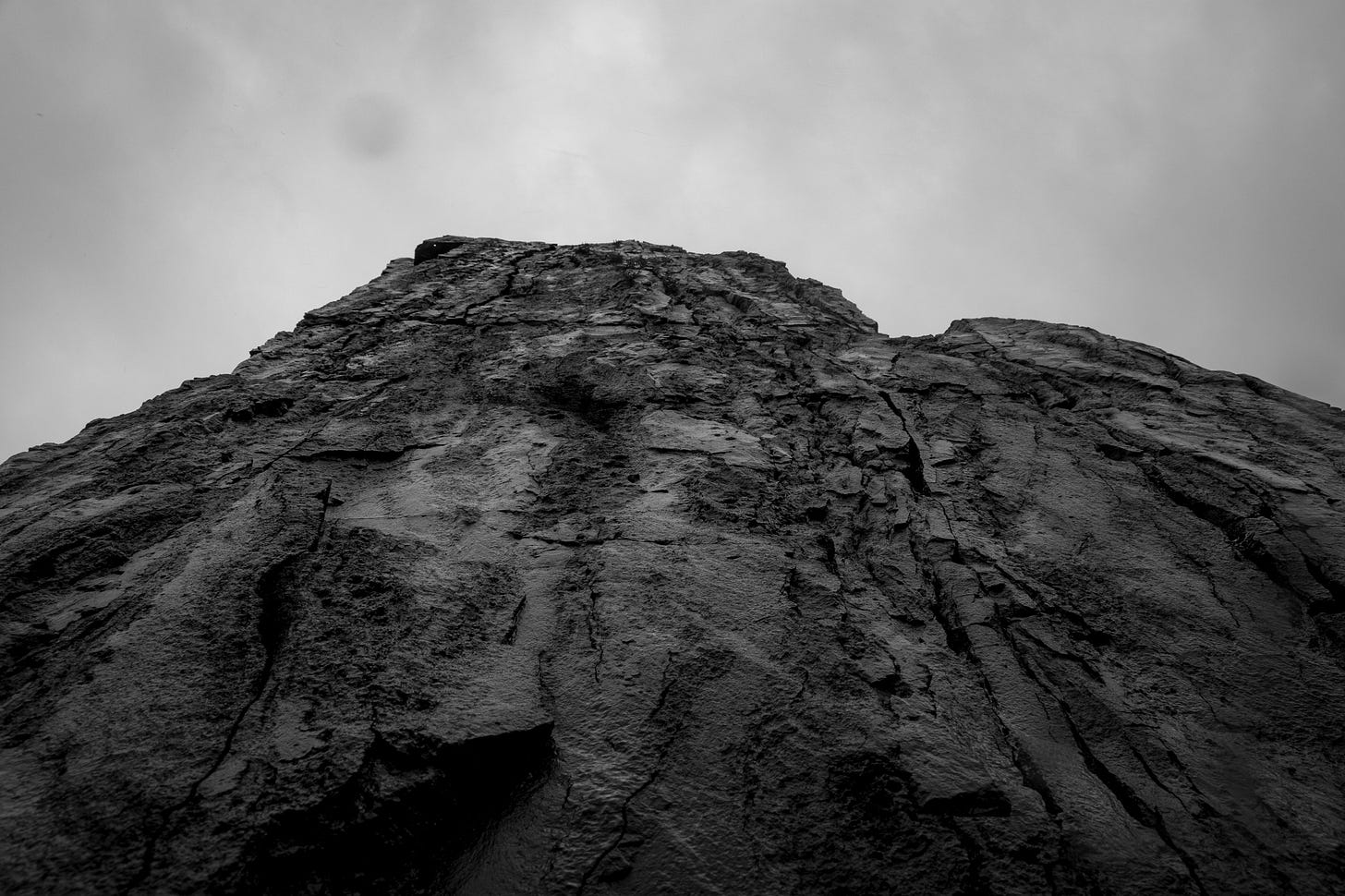
Magnetic Rock Trail is really cool and some of the most unique terrain. Here you hike through the Hamm Lake Fire, so the trees are smaller and newer growth. It’s rocky with beautiful views, and of course the trail ends at Magnetic Rock, a 30 ft tall standing stone. It’s just really cool.
One of the views from the trail.
Magnetic Rock abstract from the base.
Brief Intermission to remind you to Subscribe!
While the vast majority of my content is and will remain free, a paid subscription gives you access to…
Behind the scenes content and access to paywalled writing (ie, things I don’t want “just anyone” to be able to access and read)
Exclusive essays
Social media insights, tips, photo editing tricks
Access to commenting
Why should I pay for an essay?
Great question! While the most of my essays and writing will remain free, good writing takes time and effort. Words and thoughts have value, as does my time.
The most of content you consume online, including plenty of mine, is funded by ads. This incentivizes creating content designed to keep you on a page rather than providing substantial value. By subscribing to independent writers, you are funding writing and writers that don’t rely on ad money to exist. (Thanks for your support! Back to our regularly scheduled programming!)
In case you missed it…
Read a deep dive into kayaking in the Pictured Rocks, including over tourism, the fee dilemma, and recent kayaking accidents and deaths.
Headed to Wisconsin? Here are eight easy hikes near Ashland!
Learn how to step up your kayak photography game and read my secrets to stunning kayaking photos.
Curious about Substack, the platform your currently using to read this article? Read my analysis of the pros & cons of Substack for small creators.


