Exploring Michigan: A Hiking & Adventure Guide to the Northwestern Lower Peninsula and Pictured Rocks
Ebook download!
When I was younger, I spent every summer visiting the northwestern corner of Michigan that I could. My grandparents live outside of Traverse City, and when my parents got a place nearby I spent full summers and most weekends throughout college hiking, snowshoeing and paddling.
For me, Northern Michigan will always feel a little bit like home and the start of an adventure. It’s one of those place that isn’t so obviously beautiful— there are no mountains or cliffs, and not many vistas.
This past month, I’ve been working on an eBook download Exploring Michigan: A Hiking & Adventure Guide to the Northwestern Lower Peninsula. This trail guide is an update and improvement both upon my Great Lakes Region adventure guide and the previous Traverse City guide, now expanded to cover regions farther from Traverse City. To download the eBook, scroll to the bottom of this post! For the highlights, keep reading:
Best Easy Hikes in Northwestern Michigan:
Empire Bluffs Trail
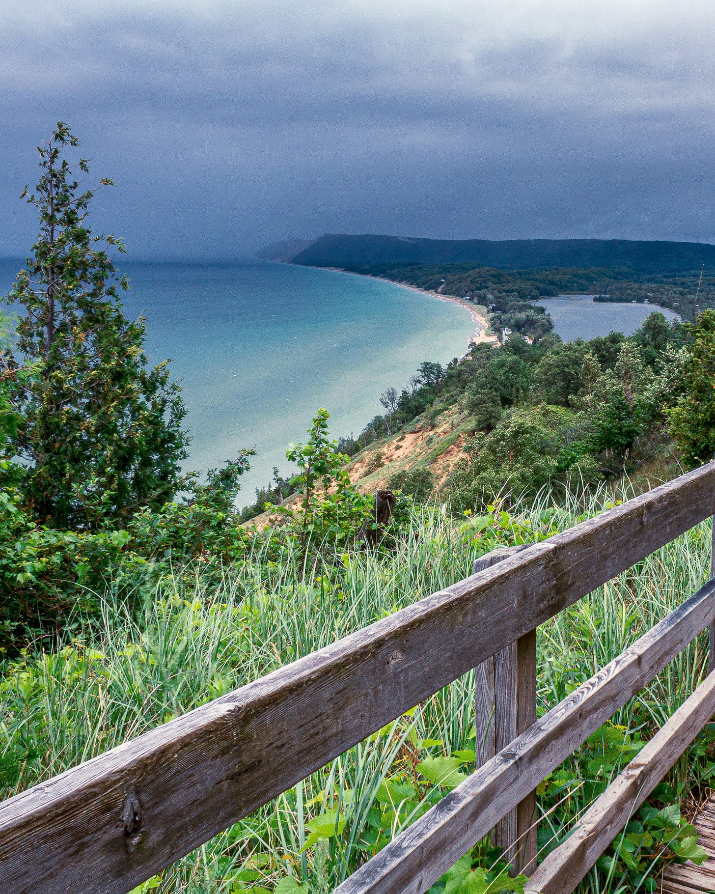
You’ve definitely seen Empire Bluff Trail on Instagram, but hey! Popular things are popular for a reason, and the Empire Bluffs are no exception. This short hike just south of the town of Empire in the Sleeping Bear Dunes National Lakeshore. The path out takes you over rolling hills and out to a beautiful overlook of Lake Michigan, the Manitou Islands, and South Bar Lake.
This hike is less than two miles round trip and involves some hills. In the summer, it’s likely to be so crowded the viewpoints are nearly inaccessible. The road is not plowed in the winter. Visit in the early morning or late evening before sunset for best experience.
Avalanche Perserve
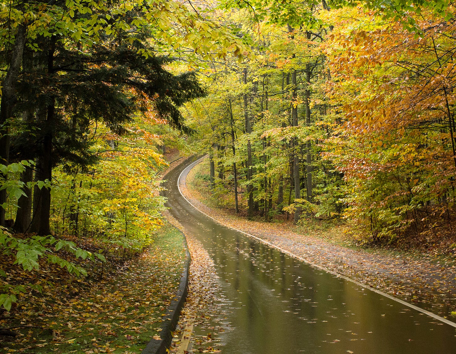
Avalanche Preserve Recreation Area is a great spot for hiking, mountain biking, and fall color. To hike, it’s just under three miles roundtrip through the woods and up several hundred feet to the top of Avalanche Mountain, with sweeping views overlooking Lake Charlevoix and the town below. This spot is especially beautiful for fall colors, reminiscent of New England autumn.
Deadman’s Hill Viewpoint
A quick hike up to the viewpoint and trailhead, Deadman’s Hill Viewpoint will be crowded to the point of lacking parking on any fall day during peak color. I recommend visiting in the early morning as the sun pokes up over the ridge. You can see for miles over the Jordan River Valley, and often in the morning fog will have collected in the valley.
Best Paddle Routes in Northwestern Michigan:
Crystal River Paddle Trail:
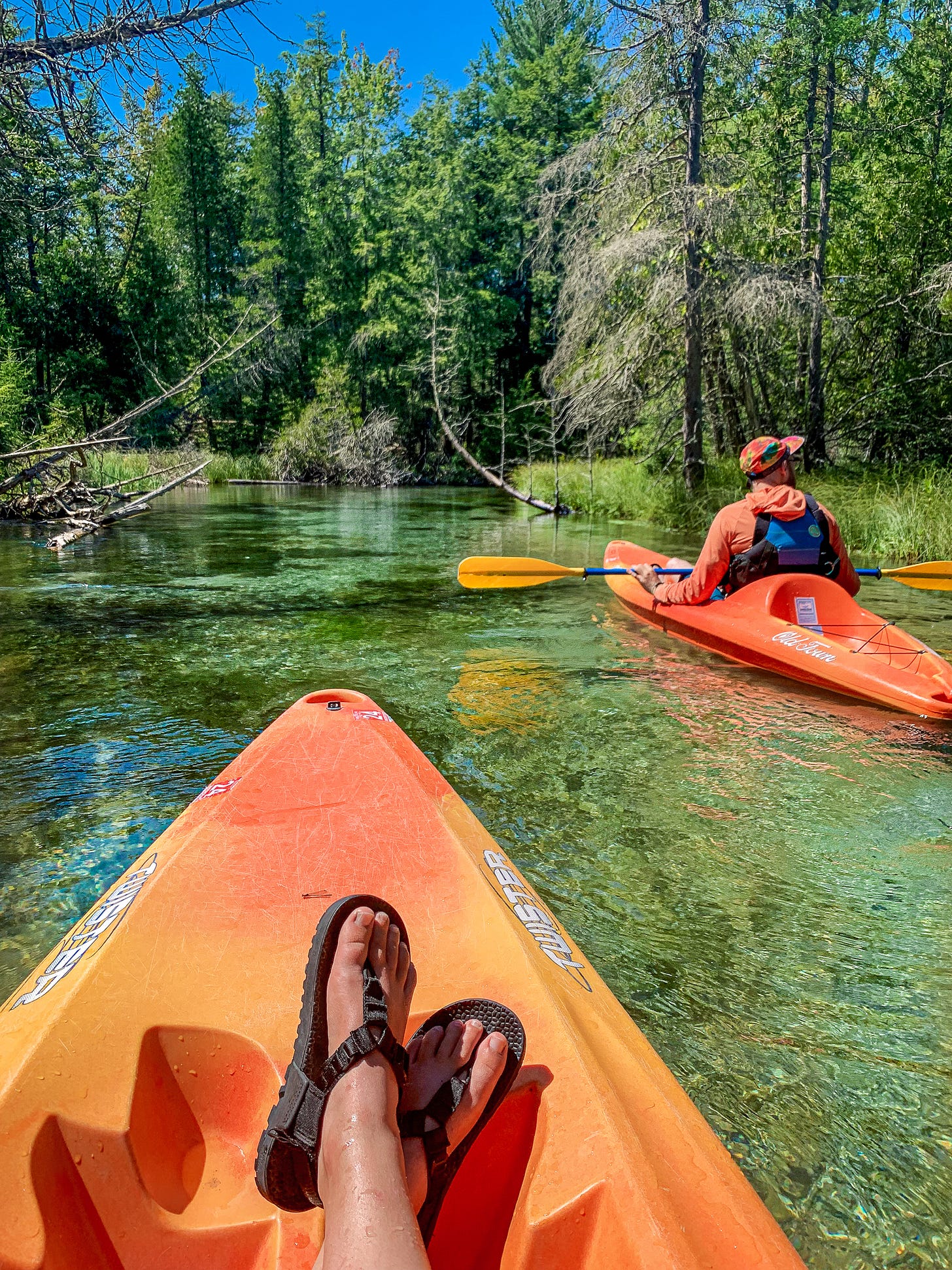
Crystal River is a popular beginner paddling destination within the Sleeping Bear Dunes National Lakeshore. It’s home to crystal clear waters, hence its name. Rent canoes, kayaks, and more at Crystal River Outfitters in Glen Arbor, who also provide a shuttle for a three-hour float. Shuttles for personal kayaks are also available at a discounted price. This paddle does involve three easy portages over the road, none of which are so difficult that it would be worth skipping over.
This is a perfect route for families, anyone with a beer in hand, or large groups looking to chat, swim, and float. Think more “lazy river” than exploring the wilderness of the Sleeping Bear Dunes. All this said, I would totally come back again! I wouldn’t do it with with a group of serious paddlers, but I would absolutely bring my whole family or a big group of friends.
Sleeping Bear Dunes Shoreline:
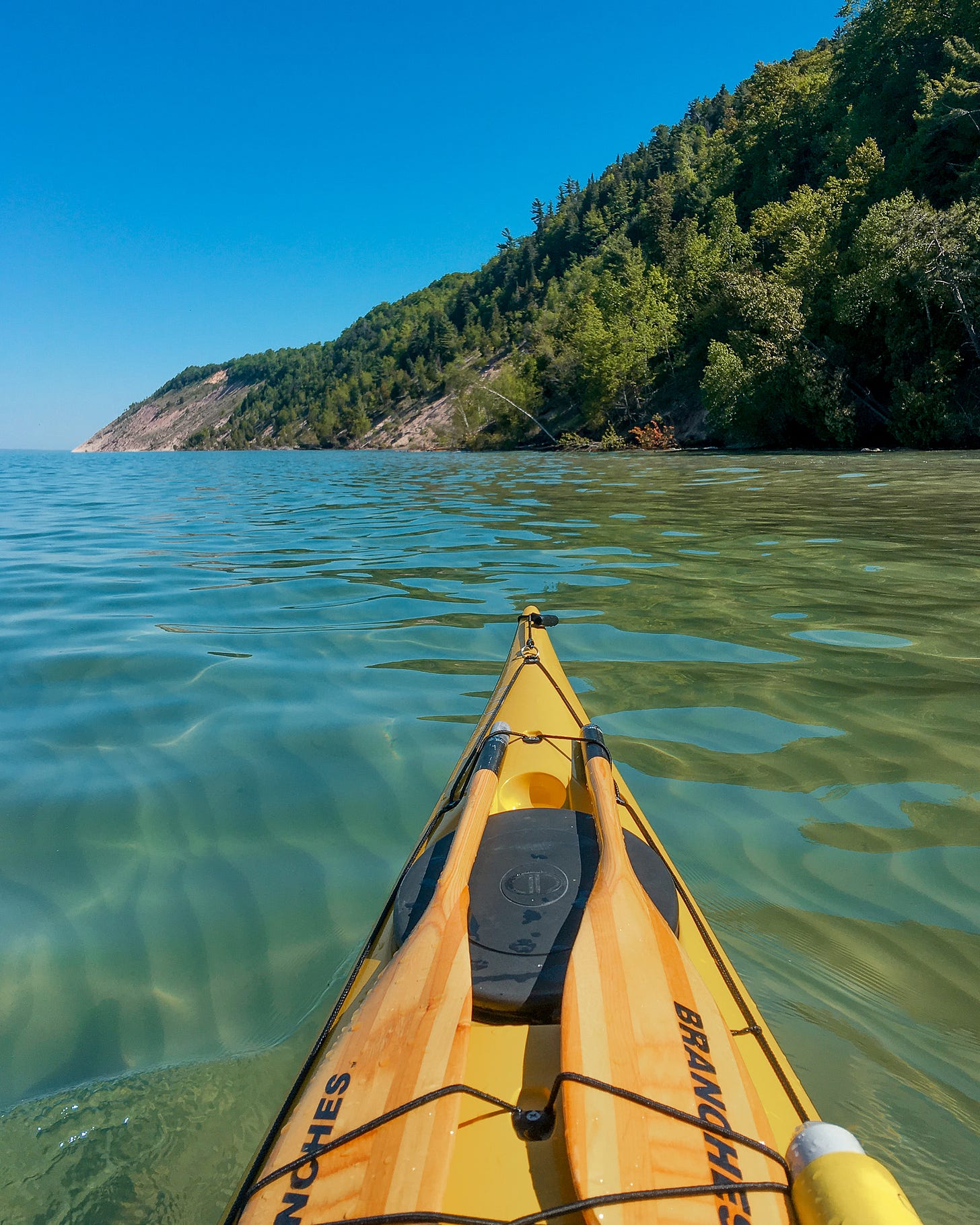
Crystal clear Otter Creek flows into Lake Michigan at the beautiful Esch Road Beach, part of the Sleeping Bear Dunes National Lakeshore. This is an excellent beach, possibly one of the best in the National Lakeshore. It’s also a great launch point for sea kayakers and open water SUP to view the Empire Bluffs from the water.
Paddling on Lake Michigan is a coastal paddling trip. While in a near shore, swimming context you might be fine on a calm day in a canoe or recreational kayak (not a recommendation!!) a sea kayak, fifteen feet or longer with sealed bulkheads, a full safety kit, and coastal kayaking experience is strongly recommended. For SUP/paddleboard, a leash attached at the ankle and PFD are strongly recommended, as well as coastal SUP experience.
At this launch specifically you are deceptively protected from the southwest and north. As you continue to paddle the shoreline northwest toward Empire Bluffs, you come out of the protection of Platte River Point in the south and are now exposed to the full force of Lake Michigan. Know that wave height and winds will likely increase as you paddle.
The Manistee River:
The Manistee River runs nearly 200 miles from source to Lake Michigan, and offers great overnight canoeing, kayaking, and tubing on hot summer days. The best paddling is located east of Mesick, Michigan. Most of the river is undeveloped, clean, cold, and fast moving. In the spring, you can find spots of whitewater, and there are plenty of places to pull out your canoe and rest along the way. The Upper Manistee has both many day trip options, as well as potential for a four- to six- day overnight trip. The Manistee River is one of the first rivers I ever paddled, and I’ve paddled and tubed this section of river more times than I can count. For me, this place is one of the last best wild places, and this route has so much potential.
For day trips, be sure to organize a shuttle; you will not easily be able to paddle upstream. For notes on camping and optimal multi-day canoe route options, see the full eBook.
Best Backpacking Routes in Northern Michigan:
The Manistee River Trail:
Located near Mesick, Michigan, the Manistee River Trail is one of the most popular overnight backpacking routes in the Lower Peninsula. This 23-mile loop is formed by linking up the Manistee River Trail, south of the Manistee River, with the North Country Trail, north of the river. The loop features several beautiful rustic campsites, overlooks of bends in the Manistee River, a small (very small) waterfall, and a suspension bridge over the river.
This trail is extremely popular as a first-time backpacking route and busy all weekends from when the ice melts to first snowfall. Finding campsites will be difficult, and it often ends up being more of a party route than a peaceful one. Recommended alternate: day hikes on the Manistee River Trail, or the Jordan River Trail or Fife Lake Loop for multi-day options. For more on these and other multi-day hikes, see the full eBook below.
Lake Sands Quiet Area:
Lake Sands Quiet Area is a park outside of Traverse City with sections of the North Country Trail and sandy bottomed lakes. Note that these small sandy lakes have led to a fearsome mosquito population.
If you can brave the bugs, it’s a beautiful place to go for a moderate hike or run, swim and enjoy the lakes. There is one hike in campsite (see map), making Lake Sands a potential beginner backpacking location. I would recommend camping in the late summer or fall, long after peak bug season.
Best Under-the-Radar Adventures in Northern Michigan:
Ludington State Park:
South of the Sleeping Bear Dunes, still far off-radar of most hikers, lies Ludington State Park, probably one of the best, full day moderate hiking routes in Michigan. While Ludington has car camping, a hike-in campground, easy day trip routes, a beautiful beach, lighthouse, endless sunset potential, and more, perhaps it’s biggest draw is the 12+ mile loop along Lost Lake, Hamlin Lake, along the ridge, then out to the Lighthouse on Lake Michigan. All in the course of a day, you can walk boardwalks to islands on inland lakes, across the ridge with views of Lake Michigan, then out across dunes to the lighthouse ending the day with a beach walk.
The Manitou Islands:
The Manitou Islands of the Sleeping Bear Dunes National Lakeshore are probably the most elusive backpacking destination in lower Michigan, requiring a ferry ride to get out to either island.
South Manitou Island has rustic campgrounds and several hiking trails through old settlements and out to views of shipwreck Francisco Morazan. Distances between campgrounds/destinations range from 1-4 miles.
North Manitou Island has more remote backpacking, dunes, an inland lake, ghost towns, and more. North Manitou has 23 miles of hiking trails (view map) and mostly backcountry/dispersed camping. Read the North Manitou Island Regulations on fees, permits, and dispersed camping here. Open fires are prohibited.
Exploring Michigan: A Hiking & Adventure Guide to Northwestern Lower Peninsula and Pictured Rocks
For 54-pages of hiking routes, secret swimming holes, Google Maps links, 8+ backpacking routes, road trip itineraries for weekend trips, and where to find beautiful campsites, click the link below for a download of the PDF and/or eBook file.
Paying subscribers of Hello Stranger not only get access to a backlog of detailed hiking eBooks like this one, but receive access to a backlog of exclusive essay content, a download of by book, Hidden Gems of the Northern Great Lakes, and more. You can cancel your subscription at any time (even right after downloading everything, it won’t hurt my feelings, promise). Subscribers make it possible for me to produce free content like the list you just finished reading and make it possible for me to work as an indie writer.
Thanks for subscribing! Hope you’re having an incredible week and getting outside lots (or staying inside if it’s as buggy for you as it is for us).
x Maddy


