North Desolation: turning south (3/4)
on the adventure you’re having
The campsites up in this neck of the ocean are hit or miss, and between the thorns, the swim, and the bear, Pryce Channel was a miss.
To be fair, we’ve been pretty campsite spoiled so far— mostly level tent pads, views, even beaches. Up here in North Desolation, the kayak campsites are used pretty sparingly by either guided tours or groups like ours. We’d encountered more than a few campsites that we just couldn’t find and moved on— probably that’s what had happened with Pryce Channel too. If the site is within 10 miles of a much better site, and it’s not super easy to get to, it ends up overgrown.
When we pulled up at the Pryce Channel camp, there was no discernible trail from the (admittedly beautiful) beach to the alleged campsite. Via bushwhacking through thorns and wading in the ocean with gear over our heads, we were eventually able to find what was likely once two small tent pads. Less than ideal, but all you really need is a little flat enough ground to sleep on and throw up a tarp, and a sturdy looking spot to tie boats off.
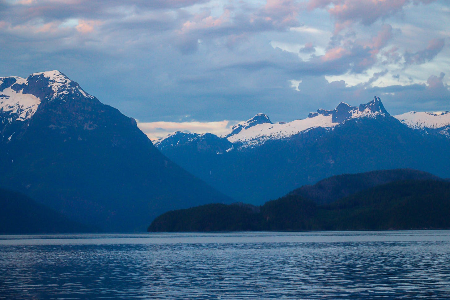
While Pryce was certainly a downgrade from the perfect campsite in Toba, the view from the beach was pretty incredible.
Oh the bear? I did mention a bear.
Much to Andy’s dismay and my delight, we’ve seen no grizzly bears on the trip. Black bears, however, we’ve seen 7 or 8; two at camp and the rest while paddling.
Around our 6:30 wake up time at Pryce, a very large mammal stumbled into our campsite, let out a snarl, then charged back into the woods. Bear? Maybe. Either that or a wolf. We snoozed the alarm to give our friend time to clear out of dodge, then packed up camp in a hurry when it was time to go.
We glanced at the forecast on the Garmin InReach rather than do a full check on the radio, but the water looked sunny and calm so we launched.
We made it about a mile with a screaming tailwind and ebb tide before the wind really started to pick up— we’re talking blow your hat off your head, paddle almost blown out of your hand gusts. Funneling down the long narrow channel, waves quickly built to 2-3 ft with whitecaps, and we grouped up.
No way should we cross the mouth of Ramsey Arm in this— the ebb current opposing these winds would make for a bumpy, dangerous ride. In the course of about thirty seconds, we collectively decided to book it across the channel now, a 1-2 mile crossing, to get some lee from the Redonda Islands and reconsider the day.
We made it most of the way across the channel when the first claps of thunder echo through the channel, so loud that we weren’t even sure it was thunder. Skies were gray and purple, and seas were green and lit by the last patch of sun, and loud booms of thunder continued to roll down the mountains and through the channel like the wind, beautiful in that way the most dramatic weather always is.
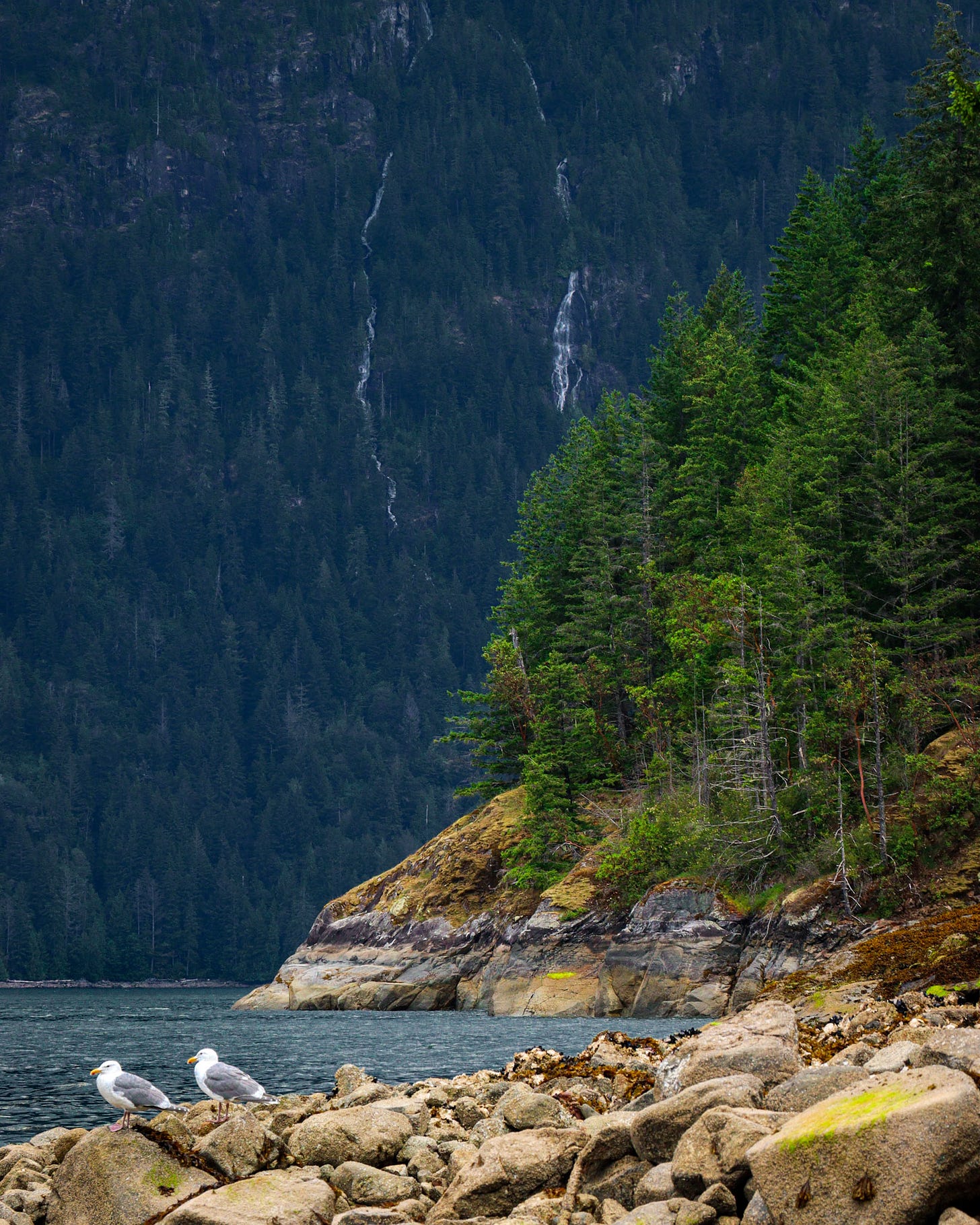
We landed at Deer Point in the Redondas, and by the time we stopped hearing thunder we were too cold to want to hop back on the water. Plus, Deer Point is a nice campsite— two flat big tent pads, a spot for the hammock, a waterfall large enough to stand under and shower doubling as a freshwater source. Campsites had been so hit or miss in the area that we didn’t want to pass up a good campsite only to paddle 10 more miles then struggle to find a good spot to set up camp.
Most of our campsite information has come from the maps made by wildcoast.ca — John Kimantas and his books are the best possible resource for BC sea kayaking. While all of the campsites listed technically exist, we’ve found that some are definitely more choice than others.
We left Bellingham on May 13th, and it was around Deer Point that we hit day 50 on trail. It was also around Deer Point we finally got to use our bug shirts to deal with the swarms of mosquitos.
Fifty days, but it hasn’t looked like we thought it would. We’ve covered significantly less mileage than expected, had a two-week, scary medical delay, struggled with group dynamic and goal setting, been cold and wet and miserable, and changed our route plan dramatically. We’ve also seen orcas, and waterfalls straight into the sea, and gotten to know each other in different, wonderful ways than before, and had coffee on beaches.
Our initial plan was 90 days to Alaska, but with our route change, it’ll look more like 70 days, Bellingham to Toba Inlet, then back to Bellingham. At Deer Point on day 50, hidden in a bug shirt I counted it out and for the first time realized we’re well over half way through. 20 days back to Bellingham. I’ll have a month of summer to spare, and plenty of time to reflect on the last two months before the next thing. I’ll be able to go to Michigan and see my family, and enjoy a hot summer in the Midwest before being catapulted back into the winter.
Siting in a swarm of mosquitos in the cold and wet, I daydreamed about Michigan and sunshine until it was time to paddle again.
After Toba Inlet, paddling up Ramsay Arm was comparatively unimpressive. Definitely still beautiful, but coming fresh out of Toba, I think it’s going to be a while before a place feels that incredible again.
As we headed for North Rendezvous Island, the last campsite in the mountains and the first campsite in a while on the traditional Inside Passage route, we heard the loud spew of a humpback whale (for comparison, I thought a meteor had hit the water).
In a world where we hadn’t had the medical delay we did, we would’ve camped on Rendezvous three weeks before. We’d have then headed north, up the Johnstone Strait and on toward Prince Rupert. But had we been there three weeks ago, we wouldn’t have watched the humpback whale and a pod of porpoises while we paddled to the island.
Moments like that really do make me think that everything happens for a reason.
16 days out, our food situation was now rice and beans, quinoa and dried vegetables. With a tailwind and the ebb tide, we decided it was time to make big moves toward Refuge Cove, a tiny general store in Desolation Sound sure to have a cold, fizzy pop, and then south to the Copeland Islands to base camp for a few days and wait out some bad weather with some fresh food.
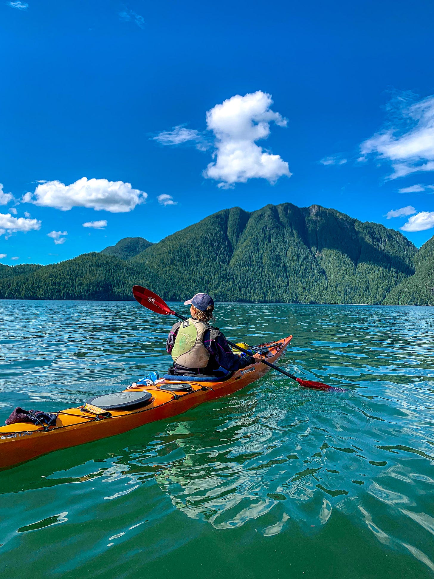
In the wee hours of dawn, we packed up our boats and hit the water, cruising down the Lewis Channel at a pace that made the other group of kayakers we passed, still packing boats and bound north against the wind and tide, shudder.
After 10 miles without a break riding the tailwind and tide for all it was worth, both the wind and the tide tide turned against us five miles short of Refuge Cove.
Our fjordland outflow wind had changed to the sea breeze of an inflow wind, and our pace more than halved as we slogged through rollers, hungry and tired, the promise of a root beer abysmally far away. To make matters worse, on top of the headwind and rollers, we got repeatedly chundled by the four foot waves of celebrities’ yatchs ricocheting off cliff walls— some of the gnarliest whitewater we saw all trip, a product of the extremely wealthy.
After an easy 10 miles and a hard five, we made it into the appropriately named Refuge Cove, and had the best cold drink ever enjoyed by anyone ever.
We also got to chat with lots of lovely folks, including a group from Powell River Sea Kayak (if you’re looking to paddle the area, definitely check these guys out!)
We’d all been feeling pretty bummed about our first day paddling south instead of north, but talking to the sailors in a Refuge Cove helped a lot— “you paddled here from Bellingham, Washington? That Bellingham? That’s a long trip even with a motor!”
We didn’t have the adventure we set out to have, but even if we were still Alaska bound, I don’t think we ever really have the adventures we set out to have.
That’s really what turning south has been about for us— learning to love the trip you’re having, the life you’re living for what it is, and not what you hoped it would be.
We were all smiles and junk food in Refuge Cove and we loitered on the docks chatting and eating till around 4 pm, when it was decision time. Do we continue to the Copelands, another 9 miles in that headwind, or do we pick a closer campsite? Historically in the area, we’d watched the winds die in the afternoon, but now we were headed towards the open Strait of Georgia.
If camped closer and headed to the Copelands the next day, the winds were forecasted to be stronger and weather worse. What if we couldn’t make it around Sarah Point?
Fully fueled on root beer, beef jerky, and Pringles, it was 4pm and time to push our luck for a 24-mile day.


