Ultimate Guide to Tettegouche State Park
Hiking, Paddling, Waterfalls, and More!
Tucked away halfway between Duluth and Grand Portage is one of the best state parks Minnesota has to offer. In Tettegouche (pronouced Tett-a-gooch) State Park, you can find both difficult backpacking trails, world-class sea kayaking, impressive waterfalls, and easy, family-friendly hikes.
In the past few weeks, I set out to poke around some of the less-travelled trails and corners of Tettegouche in order to help you, dear hiker, plan your visit! I did lose a toenail and wipe out once and squeal losing a fistful of dignity in the process, so please enjoy:
Palisade Valley Overlook
Indigenous Legacy of Tettegouche State Park:
Tettegouche State Park is on the land of the Anishinaabe people, sometimes known as the North Shore Ojibwe. The Anishinaabe lived and still live along the shores of Lake Superior, and we the first expert paddlers, hikers, and trappers to travel this area.
Grand Portage National Monument is an excellent place to learn more about the history of the Ojibwe on the North Shore.
When recreating on the North Shore of Lake Superior and in Tettegouche State Park keep in mind that you are recreating on land with historical and cultural significance to the Anishinabee Nation. Treat every trail as a potential historical or cultural site and avoid digging, damaging trees, removing rocks, venturing off trail, and/or disturbing the natural environment.
leaf
Leave No Trace on The North Shore:
Leave No Trace is the set of outdoor recreation principles developed in order to minimize environmental impact when recreating outdoors and ensure that the trails remain intact for everyone to enjoy!
Specific Leave No Trace guidance varies from region to region! For example, in some areas hikers are required to carry out solid waste (poop) rather than dig a cathole. In other areas it is highly imperative that you stay on the designated trail. Still in other areas, managing bodies and tourism boards specifically request that visitors please not geotag, or share locations on social media.
The geotagging/gatekeeping debate is contentious, but if a managing body of an outdoor space specifically and formally requests a certain behavior be avoided—whether it is stacking rocks, going off trail, bringing dogs, or making viral videos— it falls under LNT principles that the request be honored; there is currently no such formal request on the North Shore, but it is generally considered best practice that social media users only share trails that have the capacity for increased foot traffic and that trails be shared with relevant LNT information, and more than just a “follow LNT” callout.
On the North Shore/in Tettegouche, the most relevant LNT concerns are staying on-trail to protect erosion zones, invasive species management, improper waste disposal, and improper planning and safety.
You can help by staying on official trails only, cleaning your boots before tackling trails to avoid transporting invasive species, packing out all waste including toilet paper, orange peels, and anything believed to be biodegradable, and practicing careful trip planning in order to keep both you and your environment safe!
I will include further LNT specifics when necessary.
Best Adventures in Tettegouche State Park:
Check out the MNDNR map of Tettegouche State Park here. A Minnesota State Parks permit is required in Tettegouche State Park and can be purchased at the visitors center.
Palisade Head, Beginner
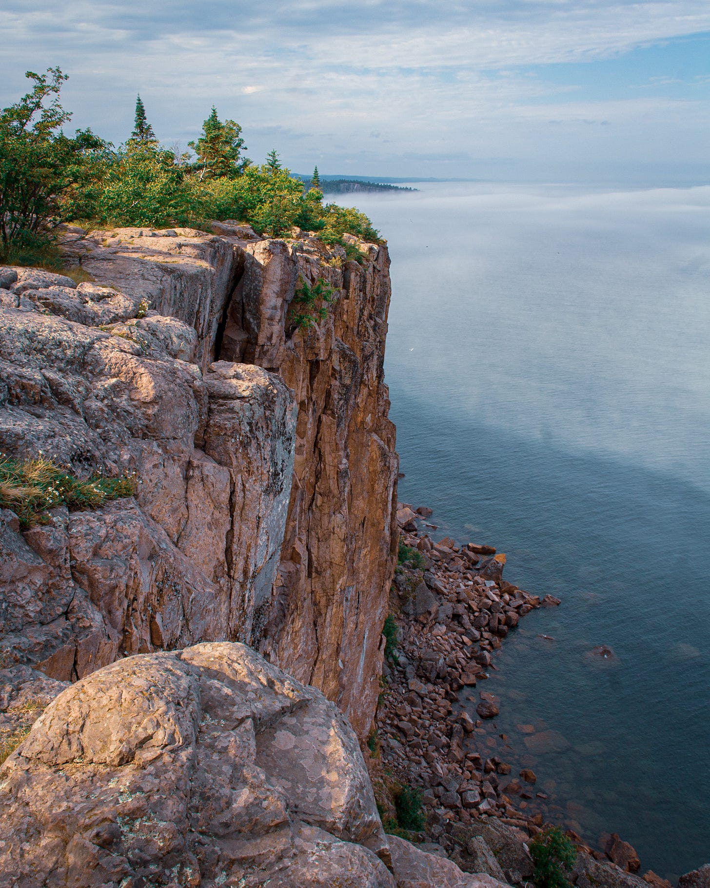
Palisade Head is a quick stop off of Highway 61 for one of the most popular views in Minnesota! Here, you can catch glimpses of fog drifting hundreds of feet below on Lake Superior and watch the Sawtooth Mountains sprawl to the northeast.
Palisade with a curtain of fog below
This is a family friendly stop with no real hiking involved. There are no railings keeping you from the cliffs edge, so proceed with caution! There have multiple fatal instances of people accidentally falling from the cliff.
Shovel Point, Beginner
Shovel Point is a 1-2 mile hike beginning at the Tettegouche Visitor Center. This route feature dramatic cliff views all around and is a very popular spot for wave watching in the stormy months of November and December.
Last winter, my sister came to visit me for a few days and I wanted to show her all of the best of the North Shore. I took her a lot of incredible places, but this hike was her favorite— maybe because we had time to make it back to the car before anyone started shivering.
Cascade Falls, Beginner
Cascade Falls is a quick and scenic hike from the Tettegouche Visitors Center to an intimate waterfall and a really good spot to picnic on the flat rocks. Despite the ease of this trail and the beautiful falls, it tends to be lightly trafficked in favor of some of the other area trails.
Cascades
High Falls, Moderate
High Falls can be reached both from the inland parking lot and from the visitors center. Currently, the bridge across the Baptism River is out, so you cannot cross the river from the trail.
I recommend the three-mile round trip route out to High Falls from the visitor’s center for the best views. This trail has several erosion zones where it is important that visitors stay on the designated trail. Most of these are apparent; if it looks like the park does not want you walking there (ie, boardwalks and railings indicating where you are supposed to walk or a sign that indicates where the trail is), stay on the designated trail. The most notable of these is near the top of High Falls. Keep in mind that boardwalks are not there to keep your boots clean, but to prevent further erosion on the trail.
Mount Baldy, Moderate
Mount Baldy is a relatively little-known trail tucked away in the backside of Tettegouche. Parking is available off Lax Lake Road. There are no bathrooms at the trailhead, limited parking, and no trash can (read: this is probably not the place to make an itinerary-style social media post about because it is not set up to support a sudden influx of tourism). That being said, portions of this trail are overgrown and could probably use more foot traffic from intrepid hikers, similar in that way to the Border Route Trail.
the view from mount baldy looking towards superior
Mount Baldy can be reached through an almost three mile moderate out-and-back, or as part of a loop out to Tettegouche Lake Camp, where there are pit toilets and backcountry cabin rentals available.
view looking over Nicado Lake from Mount Baldy
This whole area is perfect for day hikers looking to push themselves and cover distance, or anyone training for difficult backpacking trips because of the variety of loops circling back to Tettegouche Lake Camp and the road back to the parking lot. The trails are set up in a way that you could hike three miles, five miles, seven, eleven, and so on and at any point only be about a mile and a half from your car when you start to reach your limit. There are also several difficult uphills and overgrown sections, particularly toward Mount Trudee (see below) and on the northern trails reminiscent of difficult sections of the BRT.
Tettegouche Lake Loop, Moderate-Difficult
For a beautiful 6-ish mile loop where you’re unlikely to see too many other hikers, head out from Lax Lake Road into Tettegouche. Link up the trail to Lax Lake Overlook to Tettegouche Camp with the Trail from Tettegouche Camp to Mount Baldy.
On this route, you’ll be hitting about five really excellent inland lake overlooks and shredding your quads.
Mount Trudee, Difficult
I stumbled upon Mount Trudee the way I stumble upon most things— pouring over a topographical map and making a little star on a place I want to check out. Some of the time it’s a total bust, and I hike a really long way just to find slippery trails and overgrown lookouts.
For the elusive Mount Trudee this was not the case.
It took me three tries to get to Trudee— the first attempt I tried to swing in just a two hour window from the inland Tettegouche trailhead and I ran out of time and didn’t make it. The second attempt I tried from the Lax Lake Road Parking lot— I hiked about 11 miles around the various trails there to map out the previous route, and didn’t have the time or juice to add another four miles out to Mount Trudee.
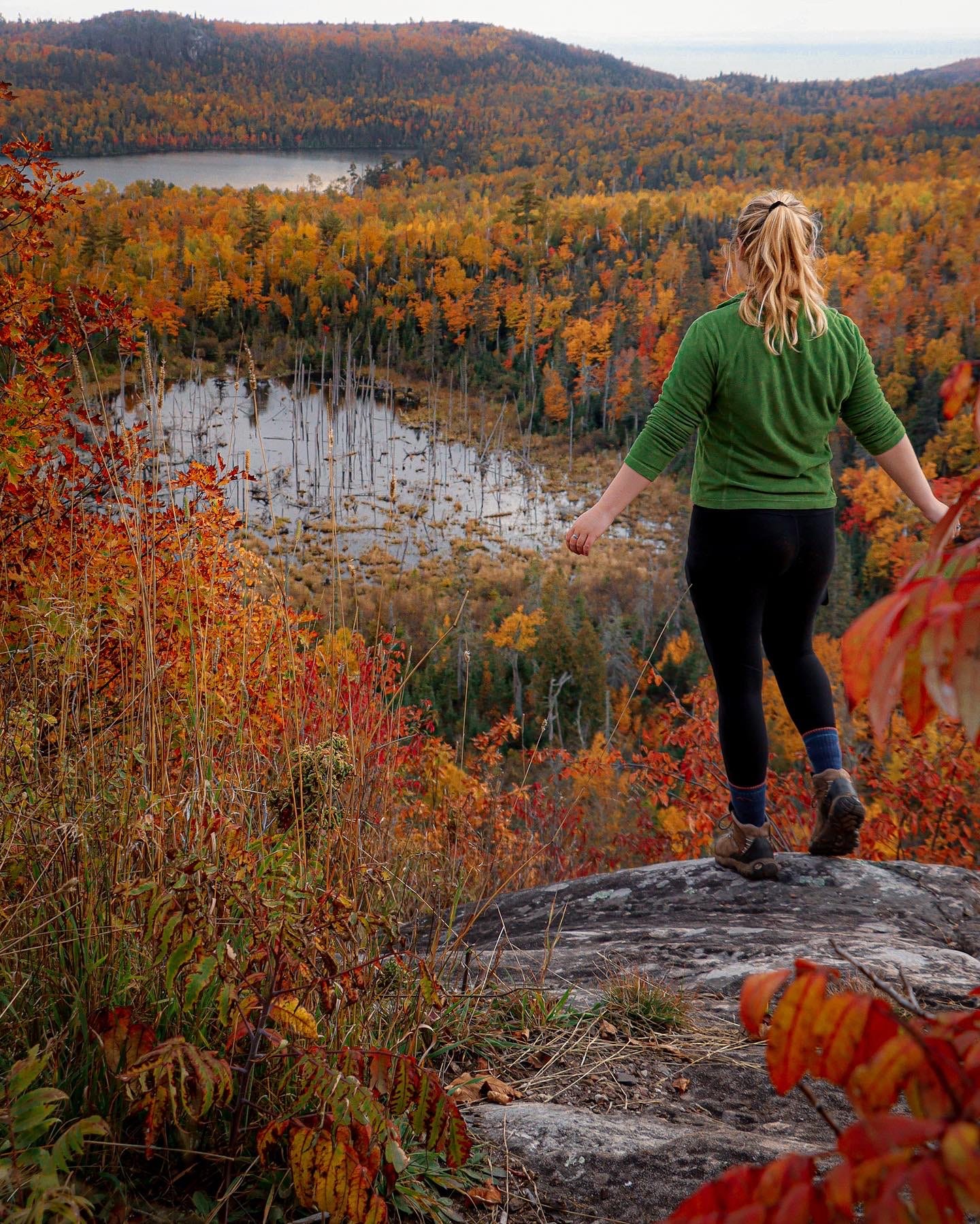
The third time Trudee was my singular goal. I hit the trail immediately after work and ate lunch while I walked. I stoped at the beautiful Palisade Valley Overlook, before half jogging, half climbing the Trudee Summit. It was incredible. Easily top five overlooks on the North Shore for me (Rose Lake, Watap Cliffs, Trudee, Fantasia, Poplar Valley?).
like 1/8th of the fire from queen trudee
To get to Trudee, you can either start from Lax Lake Road for about a 12 mile hike with a detour to Palisade Valley and all of the smaller overlooks along the way. I would consider this route to be generally difficult. For an easier (but definitely not easy) route, start at the inland Tettegouche Parking Lot and cruise the SHT for closer to six miles round trip— this route cuts out the Palisade Valley Overlook which is half the fun. Trudee is especially awesome in the same way that Rose Lake Cliffs are— there is no easy way to get to it.
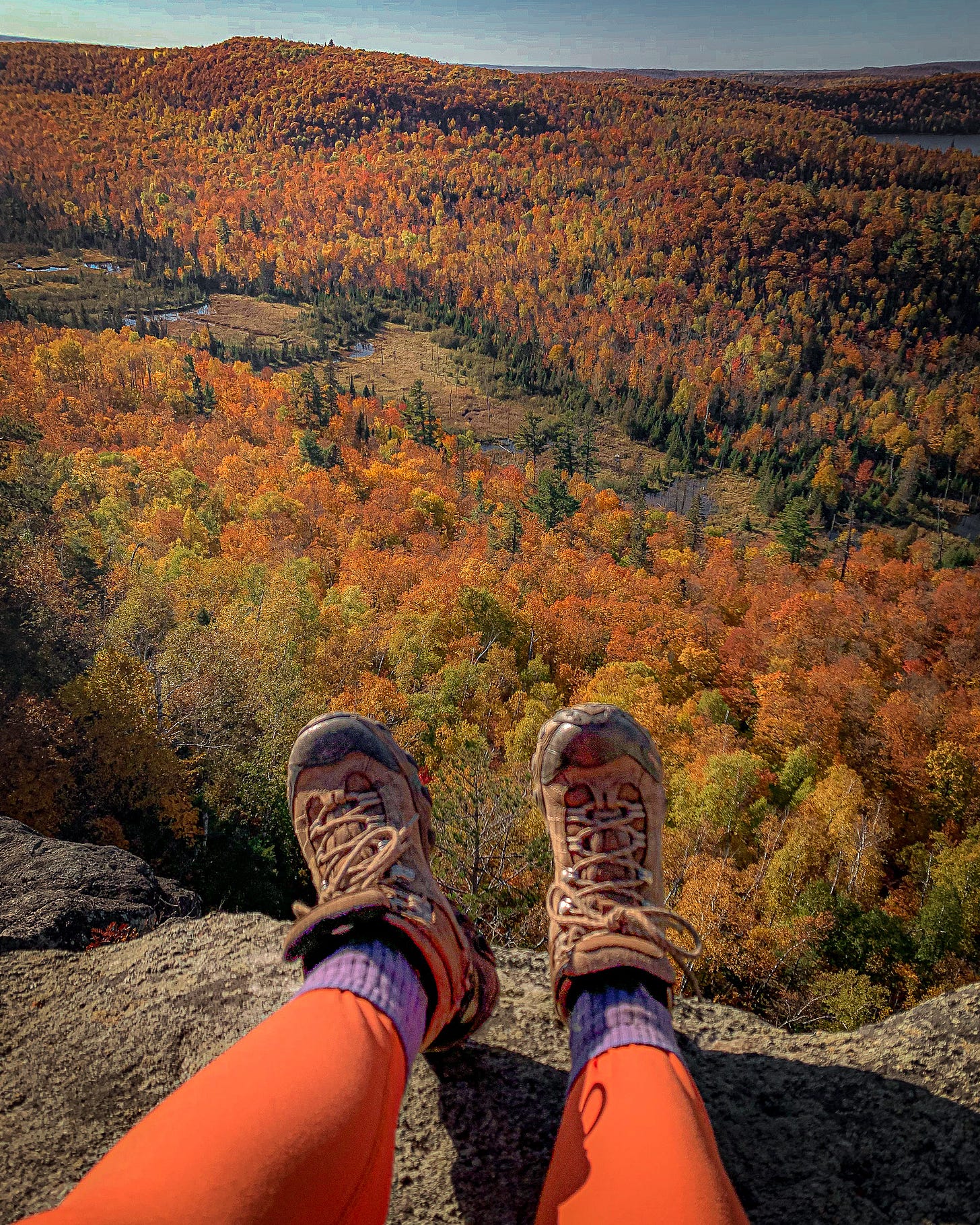
More Trudee views
Sea Kayaking Tettegouche, Coastal Kayaking L2-3
Did you know Tettegouche State Park has some incredible coastal kayaking?!
Double chambered arch
I want to start of this section with a big old disclaimer: I’m a relatively seasoned Lake Superior paddling guide, with L3 Coastal Kayaking Certs and five years experience on the Lake. I just spent the whole summer living out of a kayak on the Pacific Ocean, and saw better weather and smaller waves than on Superior most of the time. Lake Superior is not a good place to paddle with recreational kayaks, or for kayakers without coastal and open water experience. Having a sea kayak is not enough to make you safe on Lake Superior. There is no such thing as “safe” on big water; only informed risk. I’ve been asked a lot of times by a lot of people “Is it safe for me?”. Fundamentally this is a question of confidence and skill level. If you cannot assess those on your own then it is not safe for you; this applies beyond Lake Superior and extends to most outdoor disciplines.
Choosing outdoor activities that match up with your skill level is also an issue of Leave No Trace: when someone launches a recreational kayak on Lake Superior and capsizes, most of the time they don’t die (thank god!)— what does happen in an emergency situation like this is the boat gets swamped. Water bottles or anything else on the boat get dumped into the Lake. The kayaker, now swimmer, may have to scramble up the shoreline, damaging plant life and contributing to erosion. The plastic kayak gets ground up against the rocks, depositing microplastics into the Lake. The “come prepared” aspect of Leave No Trace refers to the idea that some of the damage to the environment on trail comes from people in emergency situations who have no other choice. This can be avoided with appropriate risk management.
I don’t at all mean this to shame anyone who gotten in over their head—I sure have— only to share information. You’re not a bad person if you’ve messed up LNT. Every single person practices LNT imperfectly some of the time— you still have a place outdoors.
I recommend booking a guided tour with Day Tripper of Duluth if you want to paddle here but don’t have the skills or comfort level.
I’m including this info anyhow because I know a good handful of my blog subscribers are members of the Great Lakes Coastal Kayaking Cult group, and to help recreational kayakers make informed decisions about their safety. Welcome friends! Here’s the route I recommend:
Black Beach to Crystal Beach: 10-12 miles
Launch at Black Beach Park and paddle north towards Palisade Head. Most of the land before Palisade is private property and much of it is cliffed-out with shoals below; can make for a fun ride in light swell. Palisade Head has one double chamber arch, and a slot canyon arch in the same area. There are a few more cave-like features that dot the cliffs. Just out to Palisade and back is around 6 miles, but there’s plenty more excellent paddling if you continue forward.
Paddling on the Baptism (some rough water generally at mouth)
A favorite of mine is to head up the Baptism River towards the first small rapids. It’s an easy paddle upstream except of course in the spring, and kind of a fun novelty to play in the current. Continue to Shovel Point and eventually to Crystal Beach for a lunch break and to paddle the large “cave of the waves”. 10-12 miles round trip to Crystal Beach and back, depending on how straight you paddle.
Hiking Near Tettegouche:
The whole area near Tettegouche State Park is especially stunning! Here are a few trails just outside of Tettegouche worth visiting:
Bean & Bear Lakes, moderate.
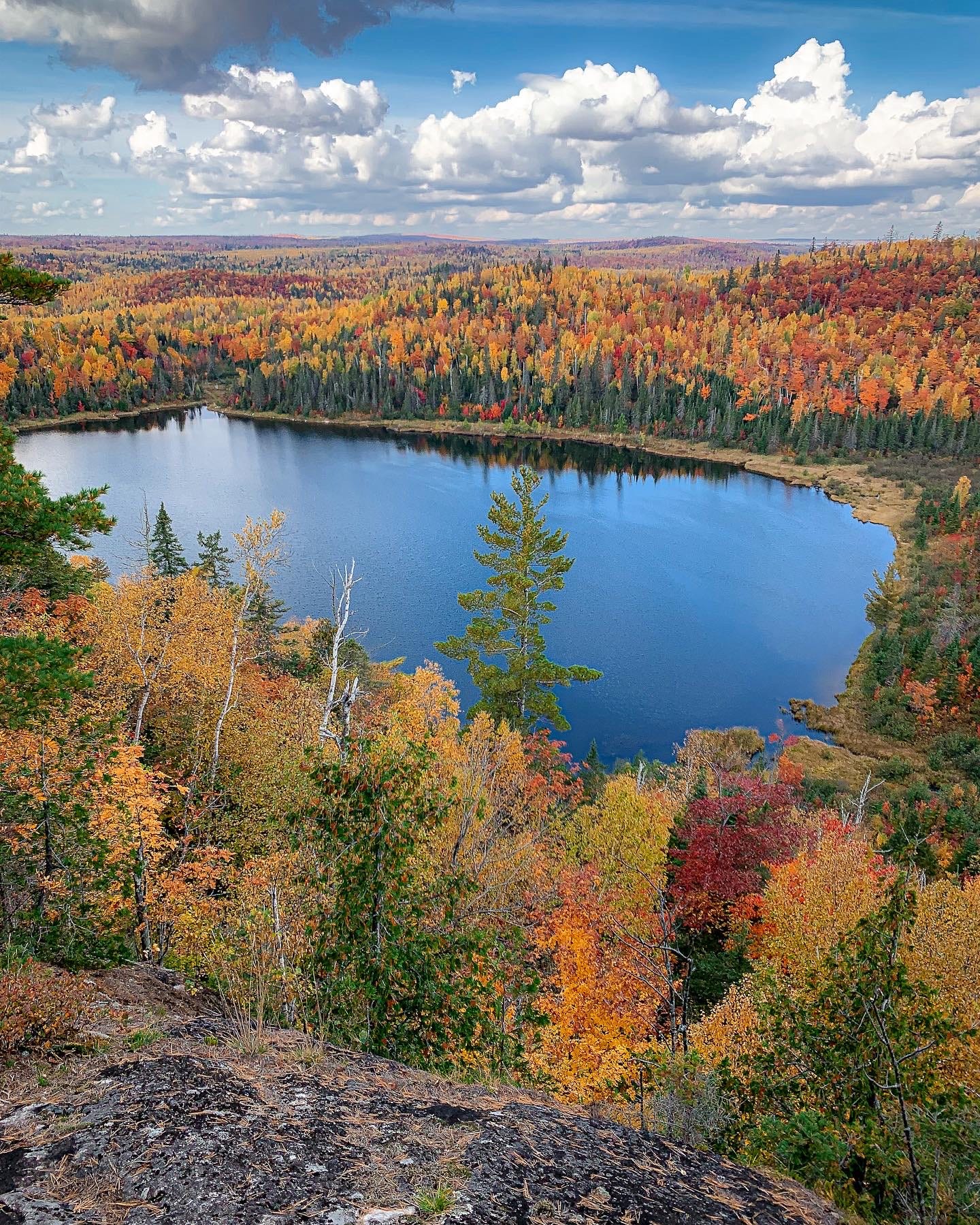
Bean & Bear Lakes is an extremely popular 6-7 mile loop that takes hikers out to cliffs overlooking two small lakes below. The parking lot is paved and fairly large. This is not an easy hike and will likely take 3-4 hours if not more.
While definitely a beautiful hike and one of the most popular fall hikes in the area, it personally doesn’t even clock my top ten list. A hike that would? Start from the inland Tettegouche Parking Lot and head south on the SHT to to both Mount Trudee and on to Bean and Bear Lakes for a total 12-mile out and back on difficult trail hitting a few of the best overlooks the area has to offer. This would be a difficult if not very difficult route.
Fantasia and Johnson Lake Overlooks
Just outside of Tettegouche on the Superior Hiking Trail sits the mostly uphill trek to Fantasia Overlook, a dome that takes hikers above Tettegouche overlooking Lake Superior and the entire southern North Shore below. The spur trail ends at an overlook of a Beaver Pond, but following the SHT just a little farther will take you to an overlook of Johnson Lake.
Bean & Bear Lakes overlook
Hey you made it to the end! If you’re looking for an even more detailed resource for the area, check out Exploring the North Shore, an adventure guide eBook for the North Shore of Minnesota. This eBook covers the best hikes, day trips, sunset spots, kayak routes, where to find free camping and includes an interactive map! Exploring the North Shore is available now PDF download for paying Subscribers of Hello Stranger.
Not only do paying subscribers have access to PDF eBook downloads, but a backlog of exclusive essay content. Free guides and resources like this would not be possible without my wonderful, beautiful Hello Stranger community. Did anyone tell you you look radiant today? You sure do!
Happy trails,
-Maddy


Bold wasn’t the first word that crossed my mind ;-) we had the same concern about the ATV trail but it is fairly wide and the few atvs that came along we’re at moderate speed. Happy trails.
I like that you talk about LNT and kayak safety. I saw a guy on Superior this summer. No wetsuit. Not wearing a PFD. I just shook my head. I went to Trudee for the first time this year. A friend shared a route that took me up Mount Rockwood Road (from 61, a little N of Silver Bay). Where it crosses Rocky Wall road, there is a small ATV parking lot where you can park. If you walk E on the ATV trail about a mile, you cross SHT. Mt. Trudee is only another 1.5 mi. Another .7 miles got us to a nice view looking down the Palisade Valley. Also, the heading for Mount Baldy says Mount Badly :-) always enjoy your posts.