


Trail Tales: Deep Trouble on Isle Royale (3/6)
McCargoe Cove & the Heart of the Island

Hi there! This post is part of a series. For part one of Deep Trouble on Isle Royale, click here. For part two, click here.
From Little Todd Harbor we left early in the morning on another foggy day and paddled another long day toward McCargoe Cove.
McCargoe Cove is the place the Indigenous North Shore Ojibwe would’ve crossed to by birchbark canoe. It’s a slightly shorter crossing from mainland Canada to McCargoe, and the cove is near the center of the Island’s northern shore, making it less dire if you were to drift or be blown off course.
McCargoe was once a summer settlement for the Ojibwe (Anishinaabe in their own language, Anishinaabemowin) on the island, and for the First People of the island mined for copper as early as 4,500 years ago.
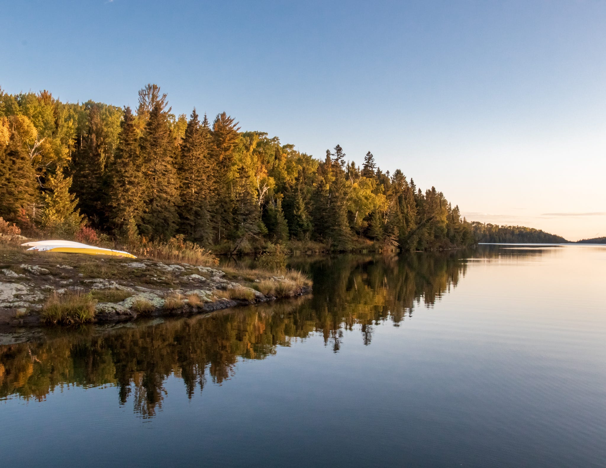
Our boats at McCargoe Cove.
Despite all efforts to erase it, the Island has a long and rich Indigenous story and ties to the North Shore Ojibwe— one tribe that was split in 1802 when the British and Americans decided the international border to be the Pigeon River.
WATCH: A Grand Portage Story, 25 minute film made in partnership with and by the Grand Portage Ojibwe telling the story of the Tribe and Grand Portage National Monument.1
Not unlike other National Parks like Yellowstone or Glacier, when the sacred lands of Minong (Isle Royale, “the Good Place”) were taken from Indigenous people and turned into National Parks, settling Americans rewrote the narrative around those parks.
Parks were reframed as places Indigenous People did not use or were afraid of, with settling Americans perpetuating racist and false ideas and stereotypes in order to justify taking sacred sites for the parks system.
Minong (Isle Royale) was no exception. The common narratives were that the Anishinaabe were afraid of the crossing over itself, or otherwise afraid of “evil spirits” said to live there.
These narratives are directly contradicted by both archeological evidence dating back 4,500 years, the long inhabited summer settlement at McCargoe Cove, and multiple accounts of Anishinaabe people2 acting as guides to and around the island for French traders, British traders, and eventually Americans. It is further contradicted by accounts of Anishinaabe guides acting as de facto search and rescue along the winter ice bridge to the island in the 1800s3.
Timothy Cochrane, former Grand Portage National Monument superintendent and long serving Isle Royale historian, states:
A number of historic observers asserted that the Ojibwe were too scared to cross the lake to Minong. But this assertion does not hold up under scrutiny. Crossing the lake to Minong was possible, but was not a feat to take lightly. Both Ojibwe and voyageurs made lake traverses of twelve to fifteen miles. Father Baraga and his Ojibwe paddlers made one astonishing (and nearly deadly) seventy-mile crossing from the Apostle Islands to the Minnesota shoreline…
… Contradicting the opinion that North Shore Ojibwe were scared to cross Minong is a more sophisticated view that they were maritime people who lived from and on the lake. They travelled frequently on the waters and knew it well.
From Cochrane’s book Minong— The Good Place: Ojibwe History and Isle Royale (p 21-24).
McCargoe Cove, once a long standing summer settlement for the Anishinaabe, today is one of the most sought after campsites for backpackers and paddlers alike on the Island.
From McCargoe Cove you have access to both the Minong Ridge trail and the Greenstone Ridge trail, a communal fire ring, a view of the cove, and stands of wild thyme near the water.
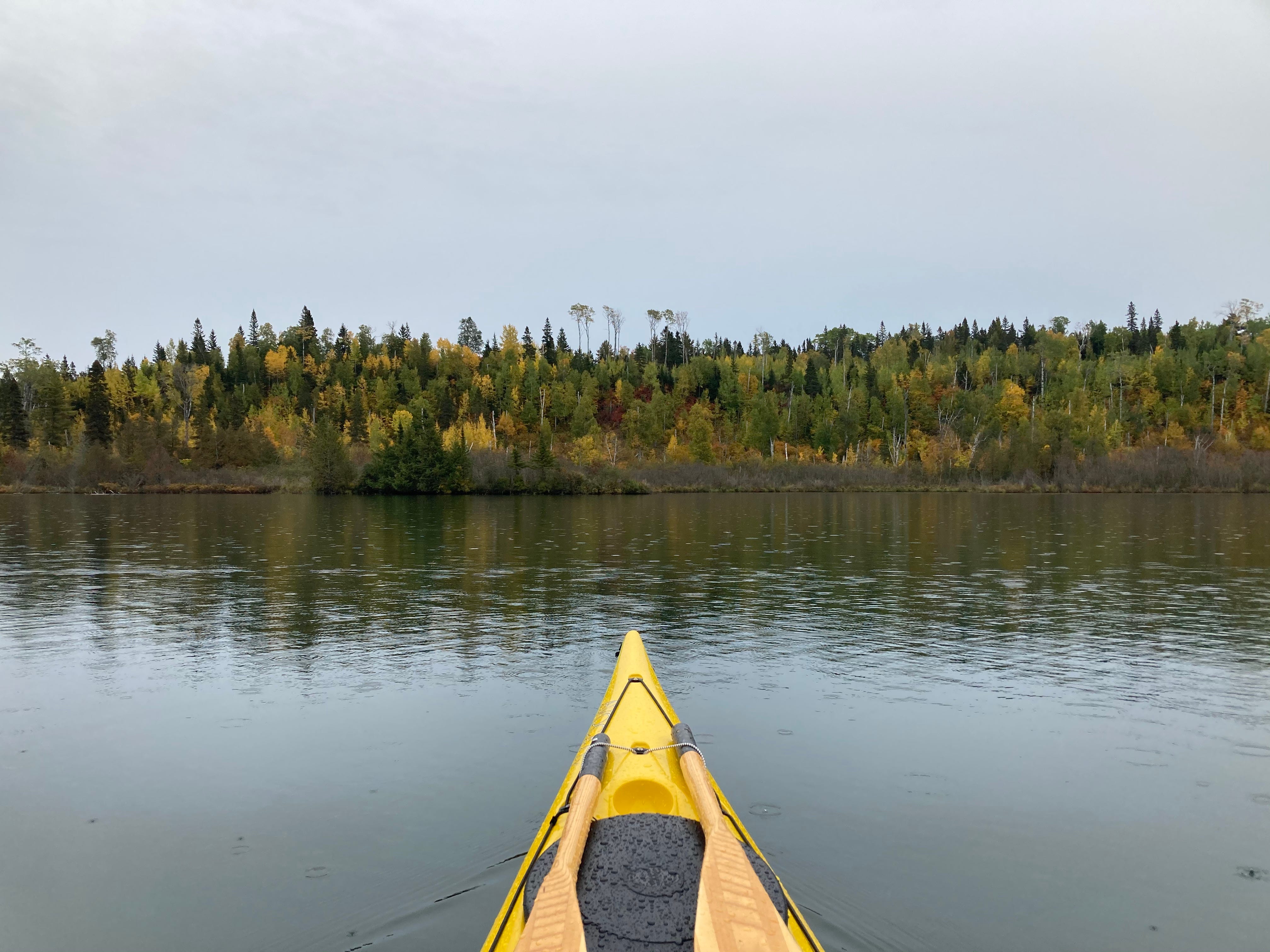
Paddling in McCargoe Cove in the rain.
For us, it was the ideal spot to spend a windbound day. And seeing as the forecast called for 6-8 ft waves from the southwest the next day, it seemed like we wouldn’t be paddling in the morning. When we reached McCargoe Cove we had the whole campground to ourselves, save a small fishing party at the nearby Birch Island.
God, do you ever wish you remembered things better?
There are parts of the Island that I remember vividly, and parts that are really, unnervingly blurry. A lot of the paddling itself is blurring. When you’re paddling 18-30 miles a day it’s bound to start to blur.
Life reduced to the feeling of muscles contracting, the twist of your core, cool sweat on your neck mixing in with the fog, sliding forward and brace with your bones.
Past black rock and orange lichen, spiky boreal pines. The thing about paddling or traveling over water is that it’s difficult and meditative and intimate. When traveling a distance by the power of your own body alone, you feel every inch and every meter and mile you go. It’s the most natural and beautiful feeling in the whole world; to move and to really feel it.
And we’ve moved this way for thousands of years; slow and human travel, by sea and land. On the water I find myself thinking this is what my body was made for.
I thought about that at McCargoe— unshowered, cooking dehydrated potato soup over the fire with Connor’s fresh caught walleye from Chickenbone Lake, a short walk from camp. I imagined a different world, way back when, when life could have been just hunt and gather, cook and camp, just paddle. Would I have liked that more?
(Probably yes, until you need a tooth puled or I remember I am so blind I can barely walk without glasses or contacts).
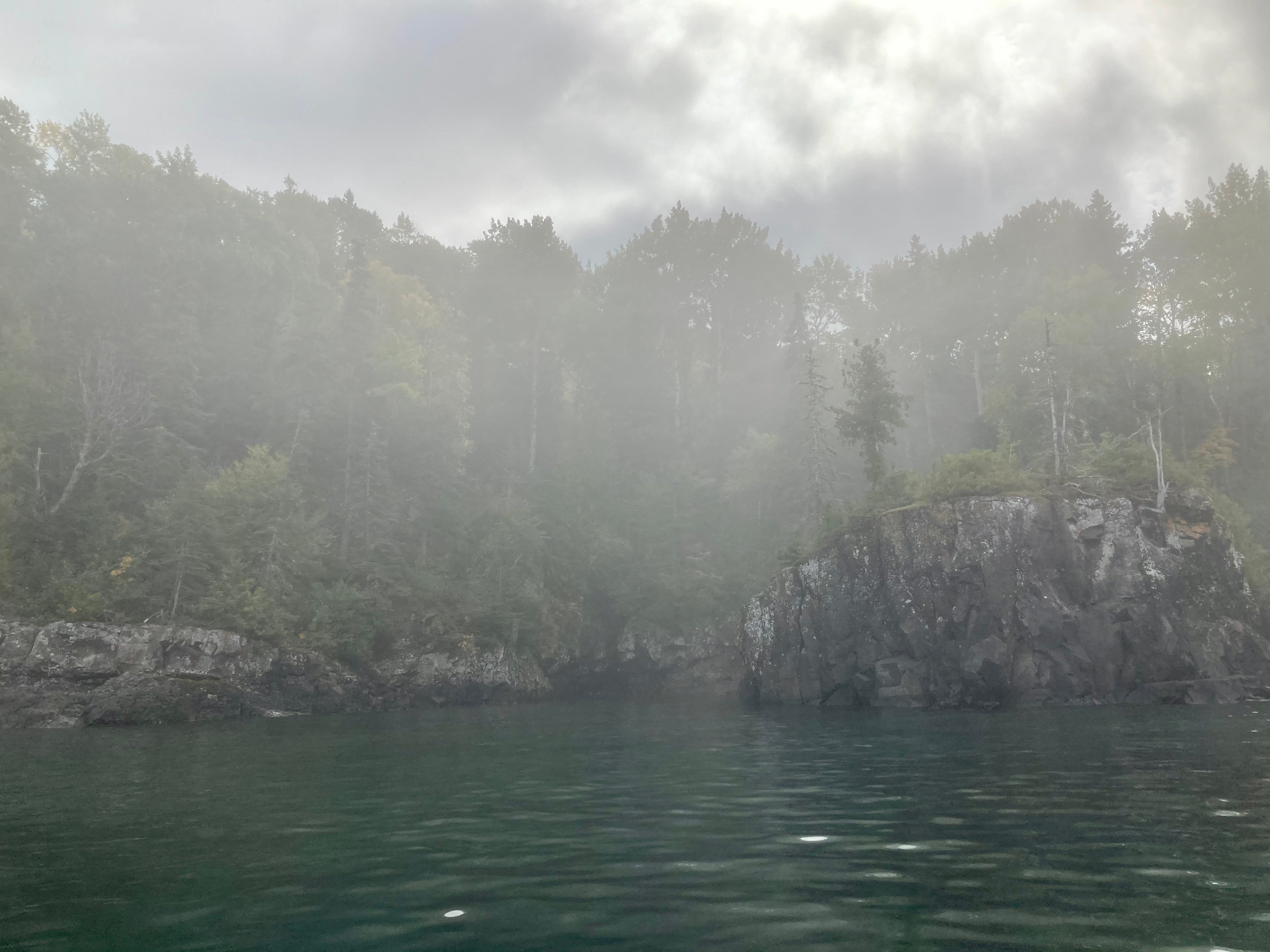
Sea stack and sun through the fog.
We stayed two nights at McCargoe Cove and spent a windy day hiking around the center of the Island.
The next morning, we left the Cove to gunmetal skies and three foot waves; the first real conditions of the trip. There were less rebound waves to worry about than expected, but far more shoals to watch for, or shallow points where waves increased in height and broke. It was a minor challenge but a challenge nonetheless.
We pushed around and into the protection of Amygdaloid Island, into calm waters and a tailwind from the northwest. At some point in the long day we made the decision to push as hard as we could to get around Blake Point. This would put us out of the wind the following day and make for a shorter and easier paddle.
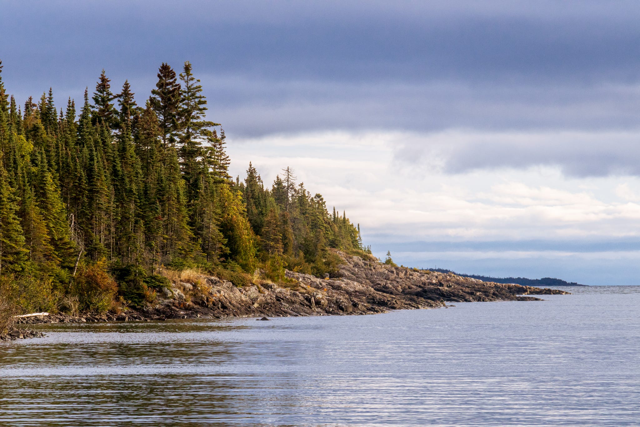
Blake point viewed from Meritt Lane; the dark land mass in the distance is Passage Island.
Blake Point is a trouble spot. Multiple rangers had warned us the point is “like a dishwasher”. There are no possible landing points; just cliffs, shoals, rebound waves, normal waves, and cross swell from throughout the Open Lake.
In December of 1906, the Monarch wrecked on the shoals of Blake Point. Headed to Sarnia, Ontario during a snowstorm, the Monarch mysteriously was pushed miles off course (or not so mysteriously when you consider a snowstorm and heavy freezing spray) and slammed into the Palisades on Isle Royale. A deckhand named John D. “Jack” McCallum volunteered to attempt to make it to shore; with him on it, the crew swung a ladder back and forth from the boat over the surf and Jack jumped off to shore. Still connected to the Monarch, by a rope, he scaled the cliffs and tied a rope to a tree. All but one man was able to make it off the boat alive4.
Four days after wrecking, the lighthouse keeper from Passage Island made it over to investigate the firelights he could see on the north end of the island, and begin the rescue process (and it was a process).
Just this past summer, a group in an open top canoe (canoe without a spray deck to keep waves and water out) swamped and spend a night shivering and stranded on the rocks with no way to call for help.
On the day we rounded Blake Point, we had 1 ft chop, 1-2 ft swell from all directions, and seemingly irregular shoaling waves standing testament to the rangers’ statements: it was in fact a a dishwasher.
Still, we had pretty ideal conditions given the circumstances. Around the point and back into the protection of the barrier islands, we settled in at Meritt Lane, the northernmost campsite on the Island.
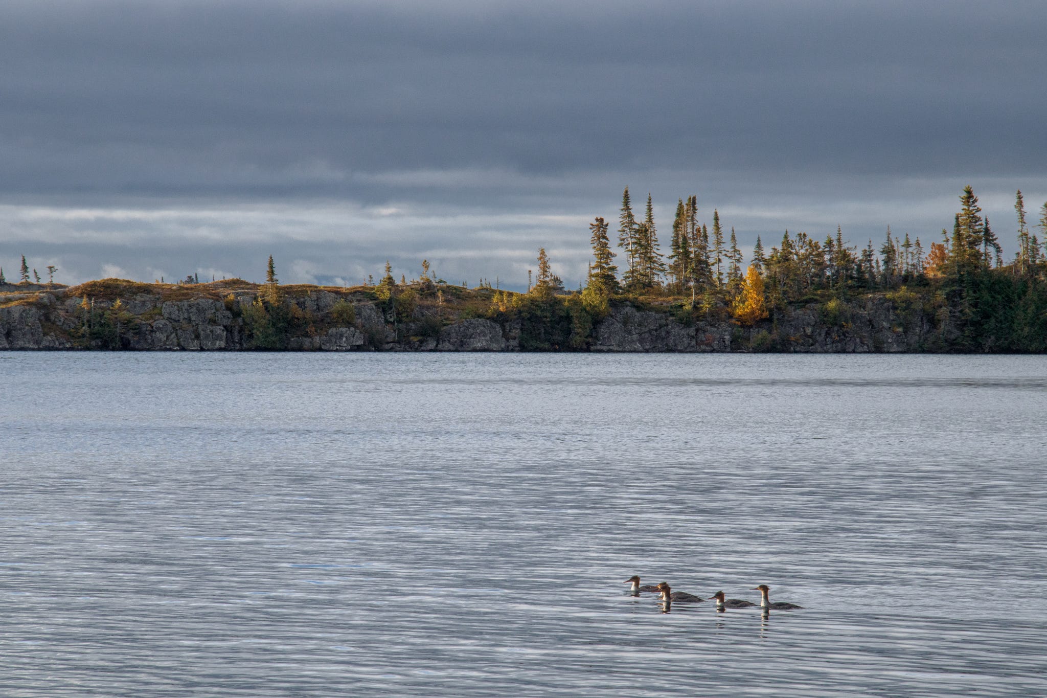
Ducks in the water at Meritt Lane.
The Lake was calm again. Loons who had already lost their mating coats congregated in the channel. Andy and I cooked beans and rice, and while we all sat and ate the sun finally broke through the clouds, painting the islands a buttery yellow.
Our dinner banter on the dock was cut off by a long and deep moo— across the water just on an island just a stone’s throw from us, a bull moose chased a cow moose into the Lake. We froze, not making a sound. Back across the channel, then out to another island, the pair was lit gold in the dying evening light.
Black Point was our halfway point, day 6. We had food for 21 days, but it was September 28th— dangerously close to October.
Late season on the biggest lake in the world.
To continue reading, click here for part four.
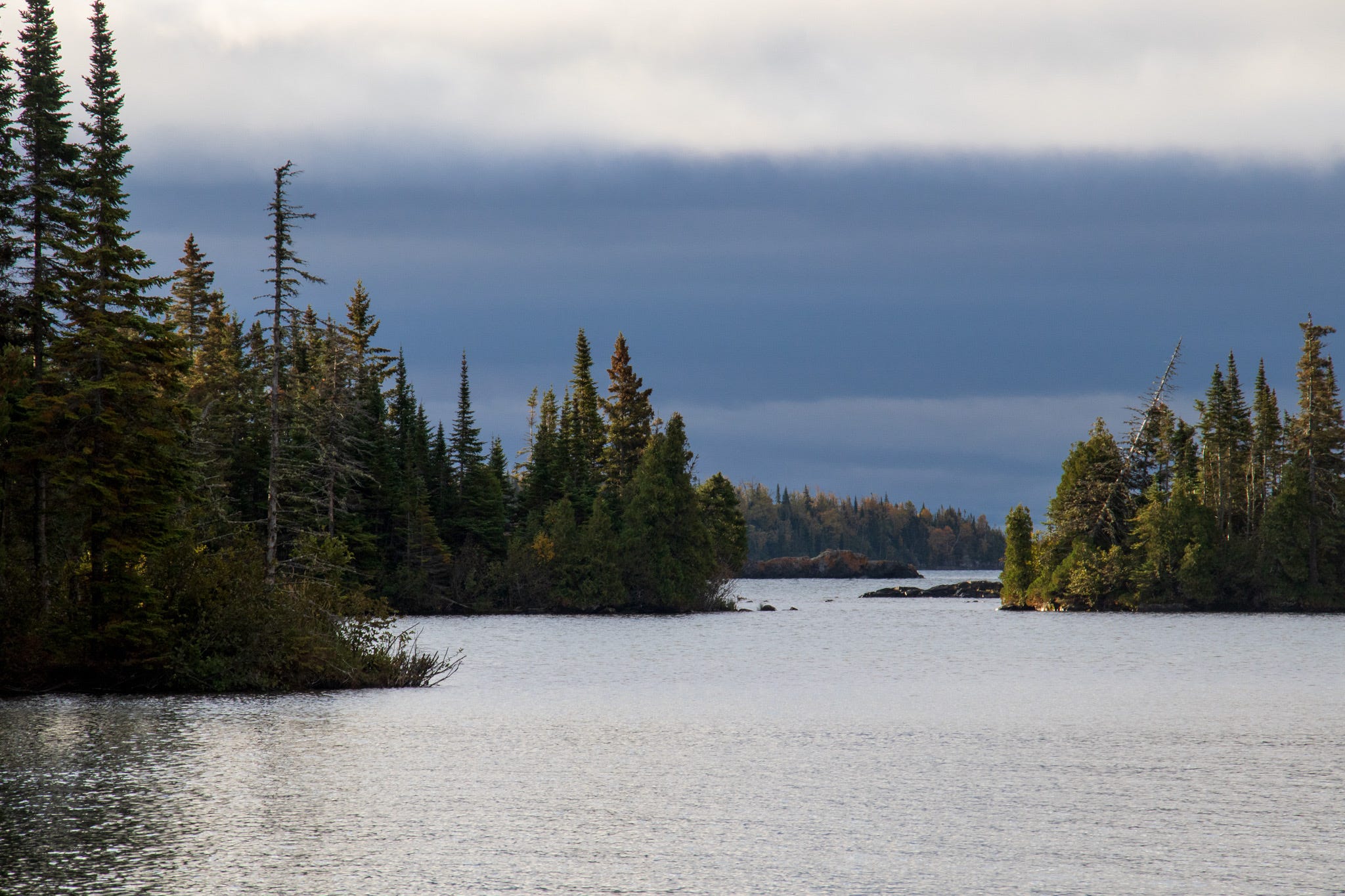
Barrier islands on the northern end of Isle Royale.
A Grand Portage Story film is instrumental in understanding the history of the North Shore and Grand Portage Ojibwe. The film was produced by the Grand Portage Band in partnership with the National Park, features Grand Portage Band members, and tells their own story through their own words. The film is available to watch in both English and Ojibwe/Anishinaabemowin.
Note that in Anishinaabemowin (Ojibwe language) the phrase Anishinaabe people sounds incredibly redundant, as Anishinaabe simply means “the people”. John D. Nichols and Earl Nyholm, A Concise Dictionary of Minnesota Ojibwe. 2020. p 226.
Information paraphrased from Minong— The Good Place by Timothy Cochrane. 2009. p 21-30.
A useful book on nitty gritty Lake Superior history and geology, but contains some micro-aggressions against Indigenous Peoples. Citing for shipwreck information, but not recommending. Norman K. Risjord. Shining Big Sea Water: The Story of Lake Superior. 2008. p 134- 135.